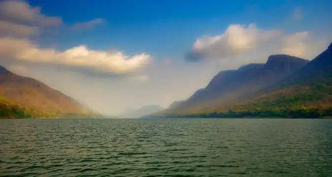
About Mahanadi River:
- It is one of the major east-flowing peninsular rivers in India.
- It ranks second to the Godavari River among the peninsular rivers in respect of water potential.
- It is considered to be one of the most active silt-depositing streams in India.
- Course:
- Origin: The river originates from the Sihawa range of hills in the Dhamtari district of Chhattisgarh.
- It flows in a southeastern direction through Chhattisgarh and Odisha.
- Length: It flows a total of 860 km by distance before it ends up in the Bay of Bengal.
- The catchment area of the basin extends over major parts of Chhattisgarh and Odisha and comparatively smaller portions of Jharkhand, Maharashtra, and Madhya Pradesh.
- It passes through several major cities and towns, including Raipur, Sambalpur, and Cuttack.
- The Mahanadi basin extends over an area of 141,589 sq.km, which represents 4.3% of the total geographical area of the country.
- The river is bounded in the north by Central India hills, in the south and east by the Eastern Ghats, and in the west by the Maikal hill range.
- Tributaries: The main tributaries of Mahanadi are the Seonath River, Jonk River, HasdeoRiver, Mand River, Ib River, Ong River, and Telen River.
- Hirakud Dam:
- The Hirakud Dam, the world’s longest earthen dam (26 km), is constructed across the Mahanadi River, about 15 km from Sambalpur in Odisha.
- The dam is used for irrigation, flood control, and power generation.
- Chilika Lake: Chilika, named a wetland of international importance under the Ramsar Convention, gets 61% of its inland flow from the Mahanadi River system, mainly from its distributaries – Daya and Bhargabi.
Q1: What is an earthen dam?
Earthen dams have been an essential part of human civilization for centuries, providing a reliable water source for agriculture, industry and domestic use. These dams are made from natural materials such as soil, sand, gravel and rock, making them a cost-effective and environmentally friendly solution for water management.
Source: No flood threat in Mahanadi river system: Odisha official
Last updated on June, 2025
→ UPSC Notification 2025 was released on 22nd January 2025.
→ UPSC Prelims Result 2025 is out now for the CSE held on 25 May 2025.
→ UPSC Prelims Question Paper 2025 and Unofficial Prelims Answer Key 2025 are available now.
→ UPSC Calendar 2026 is released on 15th May, 2025.
→ The UPSC Vacancy 2025 were released 1129, out of which 979 were for UPSC CSE and remaining 150 are for UPSC IFoS.
→ UPSC Mains 2025 will be conducted on 22nd August 2025.
→ UPSC Prelims 2026 will be conducted on 24th May, 2026 & UPSC Mains 2026 will be conducted on 21st August 2026.
→ The UPSC Selection Process is of 3 stages-Prelims, Mains and Interview.
→ UPSC Result 2024 is released with latest UPSC Marksheet 2024. Check Now!
→ UPSC Toppers List 2024 is released now. Shakti Dubey is UPSC AIR 1 2024 Topper.
→ Also check Best IAS Coaching in Delhi


