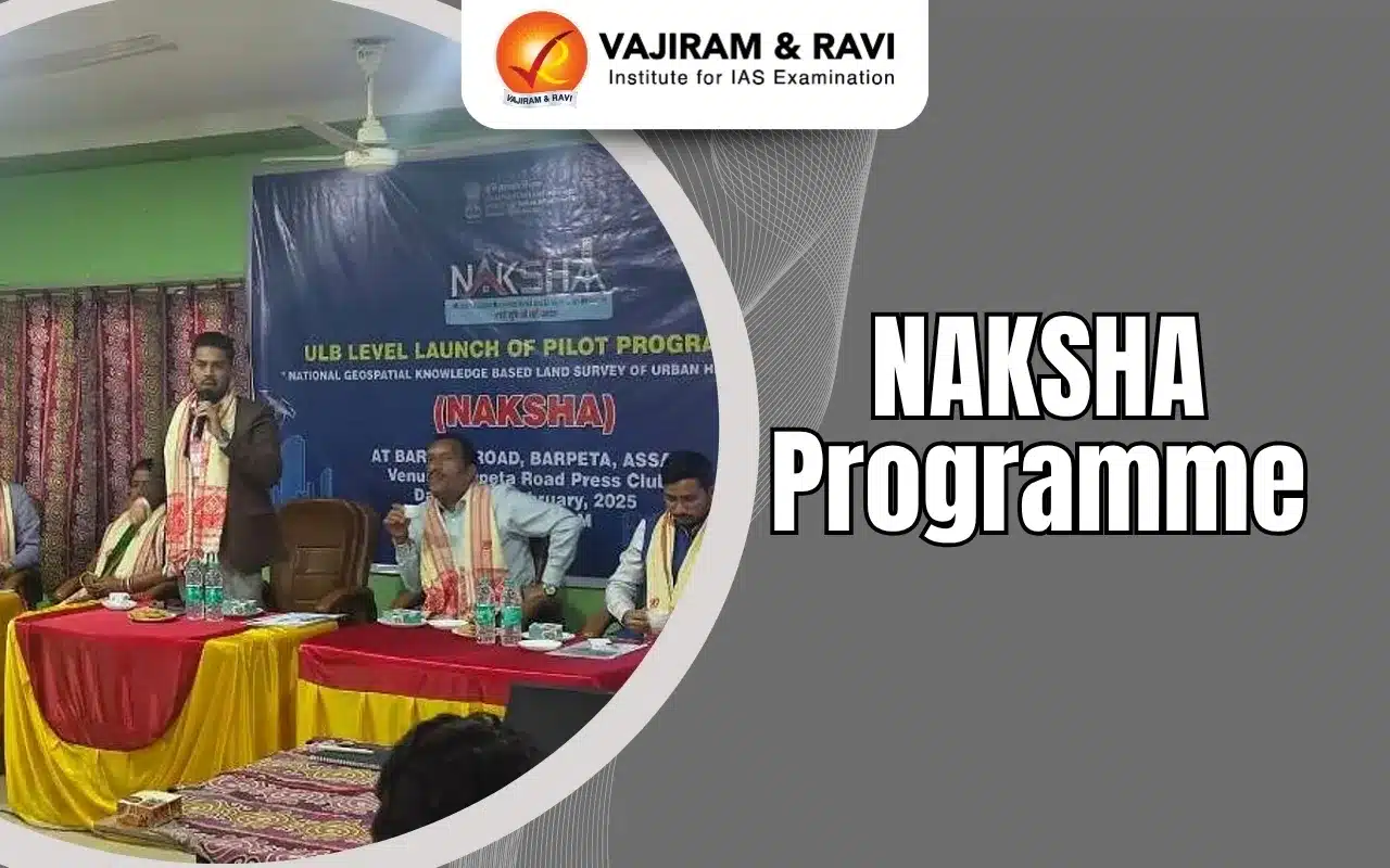
NAKSHA Programme Latest News
The Department of Land Resources (DoLR), Ministry of Rural Development, Government of India, is going to conduct the second phase of capacity-building under the NAKSHA programme from 2nd June 2025, across five Centres of Excellence (CoEs) in the country.
About NAKSHA Programme
- The NAtional geospatial Knowledge-based land Survey of urban Habitations (NAKSHA) programme is a city survey initiative under the existing Digital India Land Records Modernization Programme (DILRMP).
- It is spearheaded by the Department of Land Resources (DoLR), under the Ministry of Rural Development.
- Under the new initiative, maps of towns and cities will be prepared. The programme has been launched as a pilot across 152 urban local bodies in 26 states.
- The cities selected meet two criteria: area less than 35 sq km, and population less than 2 lakhs. The pilot will be completed in a year.
- The Survey of India is the technical partner for NAKSHA programme which is responsible for conducting aerial surveys and providing orthorectified imagery, through third party vendors, to state and Union Territory governments.
Objectives of NAKSHA Programme
- Creates a comprehensive geospatial database for urban land records.
- Uses aerial and field surveys integrated with GIS technology.
- Enhances land governance, streamlines property records, and supports urban planning.
- Improves decision-making, ensures efficient land use, and facilitates smoother property transactions.
NAKSHA Programme FAQs
Q1: Who launched the Naksha program?
Ans: Department of Land Resources, Ministry of Rural Development
Q2: What is the Digital India Land Record Modernization Scheme (DILRMP)?


Ans: DILRMP is a government initiative to digitize land records, improve transparency, and integrate property data with GIS technology.
Source: PIB
Last updated on June, 2025
→ UPSC Notification 2025 was released on 22nd January 2025.
→ UPSC Prelims Result 2025 is out now for the CSE held on 25 May 2025.
→ UPSC Prelims Question Paper 2025 and Unofficial Prelims Answer Key 2025 are available now.
→ UPSC Calendar 2026 is released on 15th May, 2025.
→ The UPSC Vacancy 2025 were released 1129, out of which 979 were for UPSC CSE and remaining 150 are for UPSC IFoS.
→ UPSC Mains 2025 will be conducted on 22nd August 2025.
→ UPSC Prelims 2026 will be conducted on 24th May, 2026 & UPSC Mains 2026 will be conducted on 21st August 2026.
→ The UPSC Selection Process is of 3 stages-Prelims, Mains and Interview.
→ UPSC Result 2024 is released with latest UPSC Marksheet 2024. Check Now!
→ UPSC Toppers List 2024 is released now. Shakti Dubey is UPSC AIR 1 2024 Topper.
→ Also check Best IAS Coaching in Delhi
Tags: naksha programme Prelims Pointers upsc current affairs upsc prelims current affairs