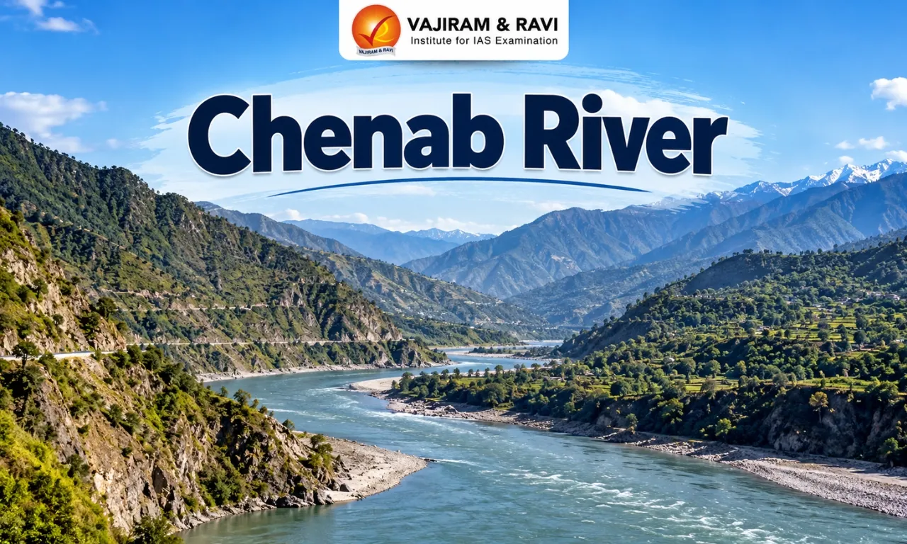
The Chenab River is a major tributary of the Indus River system, originating from the confluence of the Chandra and Bhaga rivers at Tandi in Himachal Pradesh. Known as the Chandrabhaga in its upper reaches, it flows through Jammu and Kashmir before entering Pakistan, where it supports extensive agricultural and irrigation networks. Its important tributaries, including the Marusudar and Miyar Nallah, contribute to its flow, while major hydropower projects utilise its water resources for electricity generation.
The Chenab River also sustains biodiversity, local livelihoods and cultural traditions associated with the Himalayan region. However, hydropower development, pollution, flooding, glacier retreat and changing water availability pose significant challenges. Sustainable management requires climate adaptation, ecological conservation, disaster preparedness and community participation.
Chenab River Origin
The Chenab River originates in Himachal Pradesh when the Chandra and Bhaga rivers meet at Tandi, forming the Chandrabhaga, its traditional name in the upper Himalayas.
- The Chandra and Bhaga streams rise on opposite sides of the Baralacha La area in the Lahaul and Spiti region. The Chandra initially flows southeast before turning around the mid-Himalayan terrain and joining the Bhaga at Tandi.
- The Bhaga follows a steep mountain course before reaching the same confluence. Their combined waters form the river known downstream as the Chenab.
- The river has considerable cultural and historical significance. It was known as Asikni in the Rigveda and Acesines in ancient Greek accounts. In its upper reaches, the name Chandrabhaga is associated with the river’s origin and the meeting of the two headstreams.
Chenab River States and Regions Covered
The Chenab River basin in India extends across Himachal Pradesh and Jammu and Kashmir, covering Himalayan valleys and mountainous districts before the river crosses into Pakistan.
- In Himachal Pradesh, the upper catchment includes the Lahaul area and Pangi tehsil of Chamba district. The river then enters the Paddar region of Jammu and Kashmir and flows through the wider areas of Kishtwar, Doda, Ramban, Udhampur, and Jammu within the basin.
- The river continues towards Akhnoor, where it leaves India and enters Pakistan. Downstream, it supports agricultural communities across the plains of Punjab in Pakistan.
- Chenab’s total length is approximately 974 kilometres, and its shared catchment area is around 67,430 square kilometres.


Chenab River Map
Updated Soon
Chenab River Hydrology and Course
The Chenab follows a winding Himalayan course shaped by steep gradients, narrow valleys and tributary inflows, eventually entering Pakistan and joining the wider Indus River system.
- After the Chandra and Bhaga meet at Tandi, the newly formed Chandrabhaga flows generally northwest and receives the Miyar Nallah on its right bank.
- It continues through the mountain valleys of Himachal Pradesh and crosses into the Paddar region of Jammu and Kashmir.
- Near Bhandarkoot, the Marusudar is the river’s largest tributary, which joins from the right. Farther downstream, the Chenab receives the Niru Nallah, Bichleri and several smaller streams.
- In Pakistan’s Punjab plains, the Chenab forms part of a wider river network. The Chenab joins the Jhelum near Trimmu; farther downstream, the Chenab system receives the Ravi, and the combined waters join the Sutlej to form the Panjnad before reaching the Indus.
- The river’s flow is influenced by Himalayan snow and glacier melt, precipitation and inflows from its tributaries. Its steep mountain reaches and substantial discharge also create conditions suitable for hydropower generation.
Left-Bank Tributaries of the Chenab River
Left-bank tributaries add water to the Chenab River along its course through Jammu and Kashmir, draining neighbouring valleys and contributing to the river’s flow across the mountainous basin. The important left-bank tributaries and streams include
- Niru Nallah: Originates near Bhaderwah and flows northwest before joining the Chenab near Doda.
- Yabu Nallah: Identified as a left-bank stream joining the Chenab downstream in the region.
- Mandial: A stream listed among the left-bank tributaries in the Chenab’s middle course.
- Painthal Khad: Another left-bank stream joining the river.
- Tawi River: An important tributary of the wider Chenab system. It originates in the outer Himalayan ranges of Udhampur district and eventually joins the Chenab downstream of the international border in Pakistan.
Right-Bank Tributaries of the Chenab River
The Chenab River receives several significant right-bank tributaries in its upper and middle reaches, including streams originating in high Himalayan valleys that contribute to its drainage and discharge. Important right-bank tributaries and streams.
- Miyar Nallah: Joins the Chenab near the Udaipur area after flowing through mountainous terrain.
- Marusudar River: Chenab’s largest tributary. It joins the main river at Bhandarkoot and drains a high-altitude catchment.
- Bhut Nallah: Formed by two major streams near Matsel, it joins the Chenab downstream of Gulabgarh.
- Bichleri River: Joins the Chenab downstream of the Niru Nallah confluence.
- Ans River: Joins the Chenab upstream of the Salal hydropower project.
- Chaini and Talsuen streams: Smaller right-bank streams identified in the river’s middle course.
Chenab River Dams and Hydropower Projects
The Chenab’s steep gradients and substantial water discharge make it important for hydropower generation, but the expansion of dams has raised concerns about river ecology and local communities. Major hydropower projects in India:
- Salal Hydroelectric Project
- Baglihar Hydroelectric Project
- Dul Hasti Hydroelectric Project
- Ratle Hydroelectric Project
- Kiru Hydroelectric Project
- Kwar Hydroelectric Project
- Pakal Dul Hydroelectric Project
Chenab River Basin Glaciers
Glaciers and seasonal snow in the upper Chenab basin supply meltwater to its headstreams, helping sustain river flow and supporting mountain communities, agriculture and downstream water needs.
- Bara Shigri Glacier: Located in the Chandra Valley, Bara Shigri is the largest glacier in Himachal Pradesh and a major source of the Chandra River. It is retreating, and numerous glacial lakes have developed on its surface.
- Mulkila (Mukkila) Glacier Group: The Mulkila group lies in the Lahaul region and is associated with the Bhaga drainage. These glaciers have lost area, and the rate of deglaciation has increased compared with earlier decades.
- Ghepan Gath Glacier: Located in the Chandra basin, this glacier has developed a glacial lake. The lake’s area increased by 178% over a 30-year period. The site is important for monitoring potential glacial-lake outburst flood risks.
- Sonapani Glacier: Sonapani, also written as Sonaponi, is listed among the glaciers of Lahaul and Spiti by the district administration. It is located in the Chandra Valley and forms part of the wider glaciated landscape of the Chenab headwaters.
- Gangstang Glacier: Gangstang lies in the western part of the Lahaul region. According to a Himachal Pradesh basin report, its meltwater feeds Shahsha Nallah, which joins the Chandrabhaga system downstream.
Chenab River Importance
The Chenab sustains agriculture, hydropower generation, local livelihoods and aquatic habitats, while its riverbanks preserve cultural traditions and shared heritage across India and Pakistan.
- Agriculture and irrigation: The river supports farming across its Himalayan valleys and the plains of Pakistan. Communities in Lahaul and Spiti cultivate crops such as potatoes, barley and vegetables, while areas farther downstream grow maize, wheat and other crops.
- Irrigation canals also use Chenab water to support agriculture in the plains.
- Hydropower generation: The river’s steep gradients and substantial discharge provide considerable potential for hydroelectricity. Hydropower projects contribute to electricity generation, although their cumulative effects on river flow, landscapes and settlements require careful assessment.
- Livelihoods and water security: People living in the basin depend on the river, tributaries and mountain springs for drinking water, irrigation, livestock and other daily needs.
- In the upper basin, traditional water-harvesting structures and local irrigation channels remain important to rural communities.
- Biodiversity and fish conservation: The Chenab basin supports aquatic habitats and wildlife. Community fish sanctuaries in the wider basin, including the Pehad Baba sanctuary on the Tawi River, illustrate how local traditions help protect mahseer fish.
- Cultural and historical heritage: The Chenab is closely associated with regional folklore, poetry and stories of love, including Heer-Ranjha and Sohni-Mahiwal.
- Shrines and sacred sites along its banks are visited by people from different religious communities, making the river an important part of the region’s shared cultural identity.
- Transboundary significance: The river connects communities and water systems across India and Pakistan. Its management is therefore relevant to irrigation, hydropower, flood forecasting and wider cooperation over the Indus basin.
- The Indus Waters Treaty of 1960 identifies the Chenab as one of the Western Rivers.
Chenab River Major Challenges
The Chenab basin faces interconnected challenges arising from climate change, hydropower development, natural hazards, pollution and transboundary water management.
- Glacier Retreat and Changing River Flows: Rising temperatures are accelerating glacier retreat in the Chandra–Bhaga headwaters. Changes in snowmelt, glacier mass and precipitation may initially increase meltwater flows but reduce long-term water availability and reliability.
- Glacial Lake Outburst Floods (GLOFs): Glacier retreat can lead to the formation or expansion of glacial lakes. Their sudden drainage can trigger floods carrying water and debris, threatening downstream settlements, bridges and hydropower infrastructure.
- Hydropower Development: Concentrated hydropower development can alter natural flow regimes, sediment transport and aquatic habitats. Construction activities, including blasting, excavation and improper disposal of excavated material, may also increase environmental and geological risks.
- Floods, Landslides and Erosion: Intense rainfall, unstable mountain slopes and changing precipitation patterns can trigger flash floods, landslides and mudslides, damaging roads, bridges, agricultural land and settlements.
- Declining Springs and Water Insecurity: Changes in precipitation, snowmelt, groundwater recharge and land use can reduce spring discharge, threatening drinking-water supplies and traditional irrigation systems in mountain communities.
- Pollution and Riverbank Encroachment: Waste disposal, construction, mining and development near riverbanks can degrade water quality, damage habitats and threaten aquatic biodiversity and communities dependent on river resources.
- Agricultural and Livelihood Vulnerability: Irregular precipitation, changing seasonal water availability, floods and erosion can affect crop yields, livestock and irrigation, increasing livelihood insecurity among mountain communities.
- Pressure on Aquatic Ecosystems: Dams, water diversions, pollution and overfishing can disrupt river connectivity and fish habitats, affecting aquatic biodiversity and ecosystem health.
- Transboundary Water Management: Since the Chenab flows through India and Pakistan, water use, hydropower development and flood management have implications for both countries. Reliable data-sharing, communication and adherence to applicable agreements are essential for effective cooperation.
Chenab River Way Forward
Sustainable management of the Chenab requires climate-resilient planning, responsible hydropower development, protection of mountain water sources and meaningful participation by communities throughout the basin.
- Strengthen glacier and glacial-lake monitoring: Regular monitoring of glaciers, glacial lakes, river flows and mountain slopes can improve understanding of emerging hazards.
- Satellite observations, field surveys and early-warning systems should be combined to identify potential flood risks.
- Improve flood forecasting and preparedness: Flood forecasting, real-time hydrological monitoring and timely public alerts can help communities prepare for extreme events.
- Local disaster-management plans should identify vulnerable settlements, evacuation routes and critical infrastructure.
- Assess hydropower projects cumulatively: Environmental assessments should examine the combined impacts of multiple projects across the basin rather than considering each dam in isolation.
- Project planning should account for environmental flows, sediment transport, aquatic habitats, landslide risks and impacts on settlements.
- Restore springs and traditional water systems: Protecting spring recharge zones, restoring traditional water-harvesting structures and improving rainwater management can strengthen local water security.
- Community-led monitoring can help identify declining springs and prioritise restoration work.
- Promote efficient and climate-resilient agriculture: Farmers can benefit from efficient irrigation methods, improved water storage and crop choices suited to local climate conditions.
- Support for small-scale irrigation and better water planning can reduce vulnerability to irregular rainfall and declining spring discharge.
- Protect river habitats and fish sanctuaries: Pollution control, responsible fishing, protection of riverbanks and the conservation of fish habitats can support aquatic biodiversity. Community-managed sanctuaries, such as the Pehad Baba site in the wider Chenab basin, illustrate how local cultural practices can contribute to conservation.
- Involve local communities in decision-making: Residents should be consulted meaningfully before hydropower and other major infrastructure projects are approved.
- Transparent disclosure of environmental impacts, fair consideration of local concerns and accessible grievance mechanisms can improve accountability.
- Strengthen India–Pakistan relations: Information-sharing on floods, hydrological conditions and basin risks can help reduce harm to downstream communities.
- Cooperation should be consistent with applicable treaty obligations and should consider the connected nature of water systems across the basin.
Chenab River UPSC PYQs
Q1. Consider the following pairs: (UPSC Prelims 2019)
| Glacier | River |
|
1. Bandarpunch |
Yamuna |
|
2. Bara Shigri |
Chenab |
|
3. Milam |
Mandakini |
|
4. Siachen |
Nubra |
|
5. Zemu |
Manas |
Which of the pairs are correctly matched?
(a) 1, 2 and 4
(b) 1, 3 and 4
(c) 2 and 5
(d) 3 and 5
Ans: (a)

 Last updated on Oct, 2026
→ UPSC 2027 Notification will be released on 13 January 2027 at upsconline.nic.in.
→ Check Nobel Prize 2026 Winners List here.
→ Download PIB PRiSM Monthly Magazine 2026 here.
→ Check UPSC Monthly Current Affairs Magazine The Recitals here.
→ Check out the latest UPSC Syllabus here.
→ Download UPSC Model Answers for Mains 2026
→ UPSC Mains Question Paper 2026 is out now for Essay & GS Paper 1, 2, 3 & 4.
→ UPSC Calendar 2027 has been released.
→ Enroll in Vajiram & Ravi’s UPSC Mains Test Series 2027 for structured answer writing practice, expert evaluation, and exam-oriented feedback.
→ Join Vajiram & Ravi’s UPSC Mentorship Program 2027 for personalized guidance, strategy planning, and one-to-one support from experienced mentors.
→ Go through the UPSC Mains Previous Year Papers to enhance your preparation.
→ UPSC has released UPSC Toppers List 2025 with the Civil Services final result on its official website.
→ Also check Best UPSC Coaching in India
Chenab River FAQs
Q1. Where does the Chenab River start and end?+
Q2. Which Indian states and regions does the Chenab River flow through?+
Q3. Is the Chenab River part of the Indus River system?+
Q4. Why is Chenab River called Moon river?+
Q5. What is the other name of the Chenab River?+
Tags: chenab river quest UPSC Geography Notes