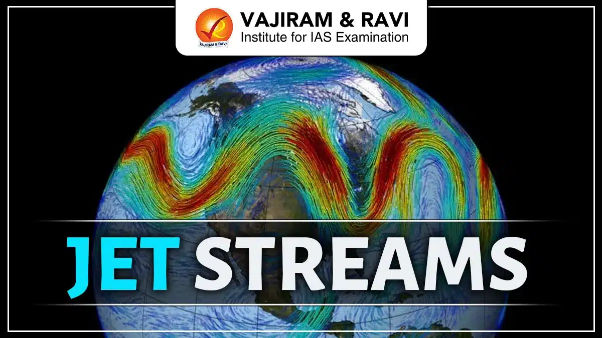
Jet Streams are narrow, fast-moving air currents in the upper atmosphere that influence global weather and climate. They are found at high altitudes, flow mainly from west to east, and follow a wavy path called Rossby waves. Based on location and season, they are classified into Polar, Subtropical, Tropical Easterly, and Polar Night Jets, each affecting rainfall, storms, and monsoon patterns differently.
The detailed article on Jet Streams has been discussed below for a better understanding of the concepts.
Jet Streams
Jet streams are fast-flowing winds in the upper atmosphere that move mainly from west to east and influence weather patterns across the globe. They form due to the temperature difference between the equator and the poles and are strongest at high altitudes. Jet streams guide storms, cyclones, and rainfall, and their position shifts with the seasons. Changes in their strength or path can cause extreme weather events like heatwaves, floods, or cold waves.
Also Read: Environment
Jet Streams Characteristics
The characteristics of Jet Streams have been shared below.
- Jet Streams are found at high altitudes in the upper troposphere and lower stratosphere, mainly between 20° latitude and the polar regions, at about 9–16 km height.
- Blow primarily from west to east (westerlies) due to Earth’s rotation and pressure gradient forces.
- Possess very high wind speeds, generally ranging from 150 to over 300 km/h, with maximum speed at the jet core.
- Strength of jet streams increases in winter because of a greater temperature difference between polar and tropical air.
- Follow a wavy path known as Rossby waves, instead of a straight flow, influencing weather systems.
- Show seasonal shifting, moving northward in summer and southward in winter, extending closer to the equator during winter.
- Form due to a strong thermal gradient between cold polar air and warm tropical air masses.
- Exhibit strong vertical and horizontal wind shear, leading to clear-air turbulence that affects aircraft.
- Are circumpolar in nature, encircling the Earth in both hemispheres, though their paths are irregular and dynamic.
Types of Jet Streams
Based on their location, altitude, and seasonal behavior, jet streams are broadly classified into permanent (zonal) jet streams and seasonal or temporary jet streams.
Permanent (Zonal) Jet Streams
- Polar Jet Stream (Polar Front Jet)
The Polar Jet Stream is located in the mid-latitudes, around 45°–60°, where cold polar air meets warm tropical air. It is strongest during winter, shows large meanders, and is a major driver of mid-latitude weather systems and storms.
- Subtropical Jet Stream
The Subtropical Jet Stream occurs near 30°–35° latitudes and is generally weaker and more stable than the polar jet. It is often associated with descending air and relatively stable or fair weather conditions in subtropical regions.
Seasonal and Temporary Jet Streams
- Tropical Easterly Jet (TEJ)
The Tropical Easterly Jet develops during summer over India and Africa due to intense heating of the Tibetan Plateau. It flows from east to west and is crucial for strengthening monsoon circulation and rainfall.
- Polar Night Jet
The Polar Night Jet forms in the stratosphere over polar regions during winter because of extreme temperature differences. It is distinct from the polar front jet and mainly influences upper-atmospheric circulation.
- Low-Level Jet Streams (e.g., Somali Jet)
Low-level jet streams occur in the lower troposphere, with the Somali Jet being a notable example. It transports large amounts of moisture towards the Indian subcontinent, playing an important role in monsoon rainfall.
Also Read: Western Disturbances
Formation of Jet Streams
Jet streams are formed due to the uneven heating of the Earth’s surface, which creates strong temperature and pressure differences between the equator and the poles. These differences, combined with Earth’s rotation, lead to the development of fast-moving winds in the upper atmosphere.
- The equatorial region receives more solar energy than the polar regions, creating a thermal gradient between warm and cold air masses.
- Warm air rises and moves poleward in the upper atmosphere, while cold air moves equatorward near the surface.
- This movement of air generates pressure differences at higher altitudes.
- Air flows from high-pressure to low-pressure zones, accelerating in the process.
- Due to the Coriolis force, moving air is deflected, resulting in a dominant west-to-east flow.
- Jet streams form near the tropopause, where temperature contrasts are strongest.
- During winter, increased temperature differences make jet streams stronger and faster.
Latitudinal and Seasonal Shifting of Jet Streams
Jet Streams do not remain fixed at one location and shift both latitudinally and seasonally in response to changes in solar heating. Their position and strength vary throughout the year, strongly influencing weather and climate patterns.
- Jet streams move northward during summer as the Sun’s direct rays shift toward higher latitudes.
- In winter, they shift southward toward the equator due to the expansion of cold polar air.
- Winter jet streams are stronger and more extensive because of a sharper temperature contrast between polar and tropical regions.
- During summer, the temperature gradient weakens, causing jet streams to weaken and move poleward.
- Seasonal shifting affects the paths of cyclones and storm systems.
- Irregular or delayed shifting can lead to extreme weather events such as heatwaves, cold waves, or heavy rainfall.
Jet Streams and Cyclone Formation
Jet Streams play a crucial role in the formation, intensification, and movement of cyclones by controlling upper-air circulation. Their position and strength determine how cyclonic systems develop and travel.
- Jet streams help in upper-level divergence, which removes air from the top of a developing cyclone and allows surface pressure to fall.
- Strong jet streams provide the necessary energy and ventilation for cyclones to intensify.
- Cyclones often move along the path guided by jet streams, which act as steering currents.
- A fast-moving jet stream can cause cyclones to intensify rapidly and move quickly.
- Weak or blocked jet streams may result in slow-moving cyclones, leading to prolonged rainfall and flooding.
- Interaction between jet streams and low-pressure systems is essential for the development of temperate cyclones.
Influence of Jet Streams on Indian Monsoon
Jet Streams have a decisive influence on the onset, strength, and distribution of monsoon rainfall over the Indian subcontinent. Their seasonal shifting controls the large-scale atmospheric circulation associated with the monsoon.
- During summer, the Subtropical Westerly Jet Stream shifts north of the Himalayas, allowing warm, moist monsoon winds to enter India.
- The development of the Tropical Easterly Jet (TEJ) over India strengthens upper-level divergence and supports active monsoon conditions.
- A strong TEJ is associated with good and widespread monsoon rainfall.
- If the westerly jet fails to shift northward, it can delay the onset of the monsoon.
- Variations in jet stream position and strength may cause breaks in monsoon rainfall or regional droughts.
Impact of Jet Streams on Aviation
Jet Streams play an important role in aviation by affecting flight speed, fuel use, and safety. Aircraft flying in the direction of jet streams can save time and fuel, while flying against them increases travel time. Strong jet streams often cause clear-air turbulence, which can be dangerous as it is hard to detect. Therefore, pilots carefully plan flight routes using jet stream forecasts to ensure safe and efficient air travel.
Changes in Jet Streams due to Global Warming
- Global warming is causing faster warming of polar regions compared to the tropics, a phenomenon known as polar amplification.
- This reduces the temperature (thermal) gradient between the equator and the poles, which is the main driving force of jet streams.
- A weaker thermal gradient leads to weaker jet streams with reduced wind speeds.
- Jet streams are becoming more wavy and irregular, showing larger Rossby wave amplitudes.
- Increased waviness causes weather systems to move slowly or remain stationary over a region.
- This results in prolonged extreme weather events such as heatwaves, cold spells, floods, and droughts.
- Weaker and unstable jet streams can lead to frequent blocking patterns, disrupting normal weather flow.
- Changes in jet stream behavior are affecting monsoon patterns and mid-latitude storm tracks.
Jet Streams UPSC Prelims PYQs
- Consider the following statements: (2020, UPSC CSE Prelims)
- Jet streams occur in the Northern Hemisphere only.
- Only some cyclones develop an eye.
- The temperature inside the eye of a cyclone is nearly 10°C lesser than that of the surroundings.
Which of the statements given above is/are correct?
(a) 1 and 2 only
(b) 2 and 3 only
(c) 3 only
(d) 1, 2 and 3
Answer: (b)
Jet Streams FAQs
Q1: What are jet streams?
Ans: Jet streams are narrow bands of very fast-moving winds found in the upper levels of the atmosphere that strongly influence weather and climate.
Q2: At what altitude do jet streams occur?
Ans: They usually occur at a height of about 9 to 16 km above sea level in the upper troposphere and lower stratosphere.
Q3: In which direction do jet streams flow?
Ans: Most jet streams flow from west to east due to Earth’s rotation and pressure differences.
Q4: Why are jet streams important?
Ans: They guide weather systems, influence rainfall and storms, affect monsoon behavior, and impact aviation.
Q5: Do jet streams change their position?
Ans: Yes, jet streams shift seasonally and latitudinally based on temperature changes and solar heating.